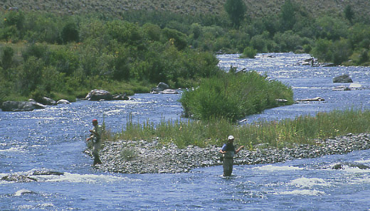
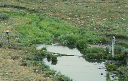
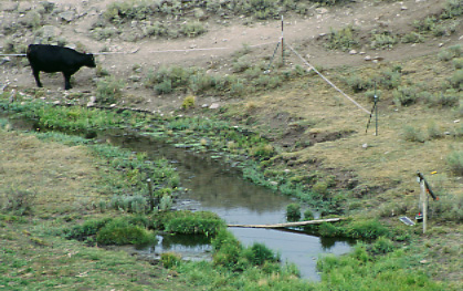
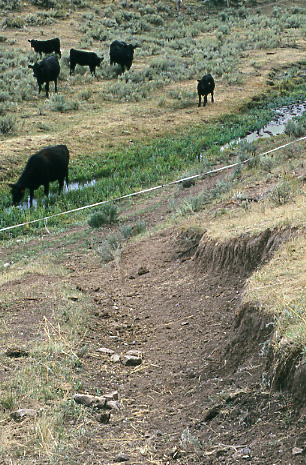
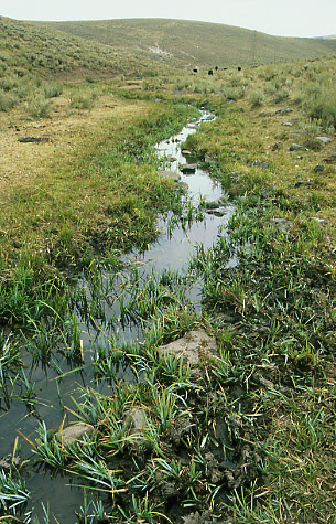
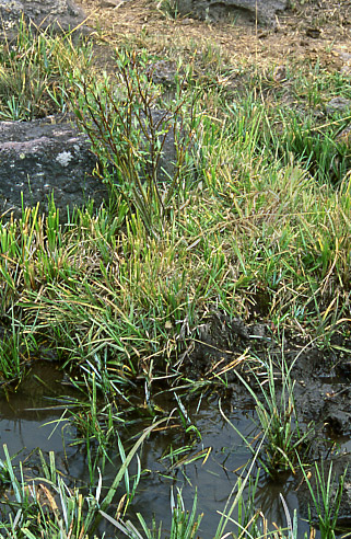
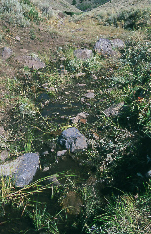
At 3.32 million acres, the Beaverhead-Deerlodge is the largest national forest in Montana. Its value, though, stems not just from its size, but from its importance as wildlife habitat. Its rangelands support large herds of elk and other wildlife species. Streams that originate on the Forest feed into a number of nationally recognized trout fisheries, the Rock Creek, Big Hole, Beaverhead, Ruby and Madison Rivers. As the headwaters of these rivers, the Forest plays an important role contributing to water quality and quantity for both sport fishing and habitat for
bull trout,
westslope cutthroat trout and
fluvial arctic grayling.
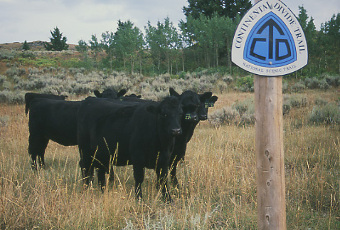
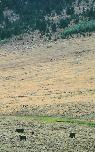
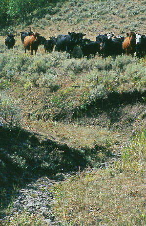
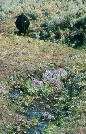
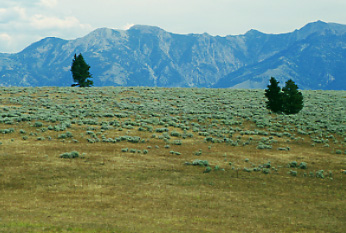
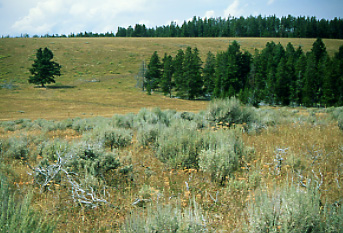
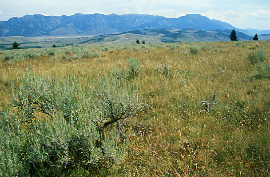
The Forest Service’s Antelope Basin Management Area (ABMA), which I visited, is located in Southwestern Montana, west of
Yellowstone National Park and to the east and north of the Red Rock National Wildlife Refuge.