State trust lands were granted to the states by the U.S. Congress to support public education. State constitutions typically mandate that the highest priority in managing these lands be for securing the greatest possible revenue. In theory, then, states sell or lease the natural resources on these lands to the highest bidder. In reality, at least for livestock grazing, states have not been receiving optimum value for using these lands because only ranchers have been allowed to bid on them. As state court decisions around the West have begun to open the bidding, though, conservation organizations have joined in. For example, in February 2001, the
Utah Environmental Congress bid on a Utah state land grazing permit thereby raising by $3,000 the amount the rancher had to pay to keep it.
Although I know of no studies comparing the condition of state lands throughout the nation it is likely that such lands in Utah are among the poorest in environmental quality. According to
Defenders of Wildlife Utah is one of fourteen states that does not manage its lands for biodiversity.
By the late 1990s livestock grazed on 3,150,000 acres of Utah state lands from which they were authorized to annually remove 198,000 Animal Unit Months (AUMs) of forage—equivalent to about 178,200,000 pounds.
On August 13, 2002, local resident
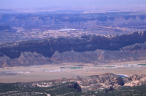
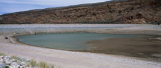
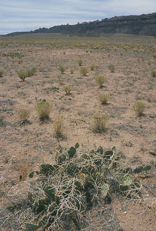
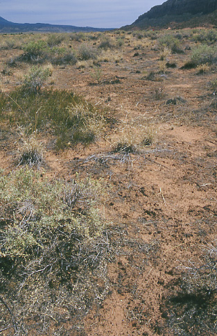
Bill Love and I visited state lands south of Moab consisting of the Ken’s Lake Allotment (Grazing Permit #20464, 4,351 acres and 195 AUMs) and the adjacent Behind the Rocks Allotment (Grazing Permit #20760, 5,000 acres and 258 AUMs) which have declined in productivity and biological diversity due to many decades of intense livestock grazing.
Both allotments are permitted to the ranchers who, since 1999, have also held the grazing permit on the
Brumley Ridge Allotment in the nearby Manti-La Sal National Forest.